Sunday, September 13, 2015

Aurora Australis

I have been told I can write a "guest" post...  So on the 9th of September 2015 readings for the Aurora went up and an alert feed in facebook was reporting beams from aurora were starting to be sighted. I was ready and Kristenne followed (she didn't want to miss the chance to see beams with the naked eye). We drove towards Evandale mainly because Kristenne thought she had a few places that might be dark enough. On the drive the sky was unusually light and when we pulled over I took a quick picture for 1sec and while blurry it was green telling me things were going to be good. We set up the tripod and as our eyes adjusted there were beams of light dancing on horizon. Sure enough the camera picked up the same but with colour. It was a fun night.

Now for the technical side. I often read (and probably should reply to the odd person on forums) questioning whether a micro four thirds camera could work for astrophotography. Well to answer that question it might not be as good as some full frame cameras but for a fifth of the price (or more these days) the OMD EM-5 certainly does a pretty good job (at least in my eyes)


Monday, September 7, 2015

Mount Barrow

From the top of our street, there is one peak which always dominates the view – Mount Barrow. It’s not far out of town, is covered in snow for a good portion of winter and frequently blanketed in cloud.

View of Mount Barrow from a month or so ago

Ryan has attempted the drive up once before, but had to turn back because the road was too slippery (I believe it was also snowing at the time…). Given a rare, sunny day with the peak visible, we decided to try the drive again.

It’s an easy 10km from the main road to the Mount Barrow picnic area, but then another 4km or so to the top along a narrow, exposed dirt road (reminiscent of Jacob’s ladder). 

Mount Barrow picnic area

It gets a bit more hairy towards the top

The road continues from a parking area, along the plateau to an antenna array, but is closed to traffic, so we left the truck and walked the rest (hoping to find a good view south for coming back at night to spot the aurora). No luck with the view south (blocked by mounds of rock), but we did manage to get a pretty awesome view over Launceston (and the Tamar River all the way to the coast) by scrambling along a boulder field to the edge of the plateau. 

Walking along the road

To find all of this, but no view south

Boulder-hopping to get closer to the edge of the plateau

To get this view over Launceston
(can't really see it well in the photo, but the whole town is pretty much visible)

This is the reason we walked on the rocks
(the vegetation was like one giant swamp)

There was also an excellent view from a shelter adjacent to the main parking area, taking in the coastline, as well as the last, winding section of road.


We made it safely down, then decided to head back “the scenic way”. I managed to navigate us into a maze of forestry roads, which eventually spat us out somewhere east of Lilydale and added about 80km to the trip. I called it exploring and in keeping with the spirit of adventure. Ryan was not impressed… 

Mount Roland

So there are two options for climbing Mount Roland – one climbs gradually up the backside of the mountain, the other heads straight up the face and is described on the Mount Roland Conservation Area website as “potentially dangerous, steep and awkward. This track is not recommended…”. Guess which one we chose?

Somewhere in amongst those cliffs is a track...


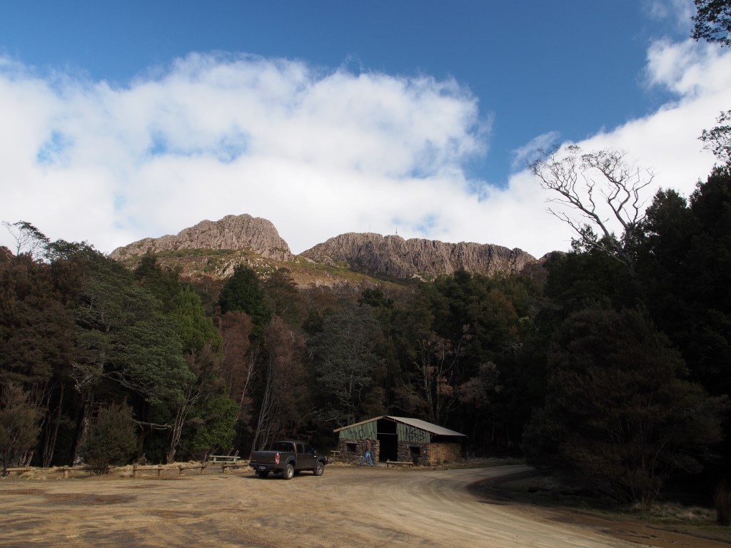
The “Face Track” starts in the forest at the base of the mountain. I had imagined that this section wouldn’t be too bad, with the really steep stuff starting once we hit the cliffs. This was partly right – as in the REALLY steep stuff did start at the cliff-line, but the forest portion also involved a pretty decent climb.


Part of the track in the bottom left of the picture
(if you think it looks almost vertical, you would be correct)

The ascent through the cliffs took us up a densely vegetated gully, which gradually opened up towards the top of the mountain. We alternated between ducking under and around mossy branches, to scrambling up tumbled boulders and scree. All the while, the view behind us was growing gradually more spectacular with the elevation gained.

Climbing up the gully
(some random guy in a green T-shirt keeps getting in all my shots...)

View back towards the coast

Scrambling up a rock-fall
(not very well demonstrated...)

Once on top, the surroundings abruptly changed to what we’ve come to know as “Tassie Alpine”, with low, prickly scrub dotted with jumbled rock. We had come prepared this time with warm gear, and donned jackets, beanies and gloves once we started finding iced over puddles along the track.

Proof I was also there

This picturesque stream is actually the track...

Typical Tassie mountaintop

We walked for another hour or so along the plateau to reach the trig. This involved more climbing over boulders, as well as slippery patches of snow and lots of water and mud. The view from the trig was magnificent with a 360° vista taking in the coastline as well as snow-capped peaks inland. It was also freezing cold and windy (surprise), so we quickly retreated to a lunch spot sheltered amongst the rocks below.

This is not just a picture of snow, but is actually the track
(which required a bit of rock-climbing)

Target acquired
(you can just see the tiny trig in the distance)

The view was alright I guess
(looking West-ish)

View north towards the coast

After lunch, we retraced our way back along the plateau and then back down the gully (facing the awesome view most of the way). The descent was unrelentingly steep (as expected) and my quads were cramping in protest by the time we reached the bottom again.


Summary for the day – 8.5km of walking, 850m of climbing, two very sore legs (Ryan’s were fine) and one muddy boot.

Nothing to see here